May 25, 2021 - Day Six, Flight Two, Part Two
Capital Reef NP
|
|
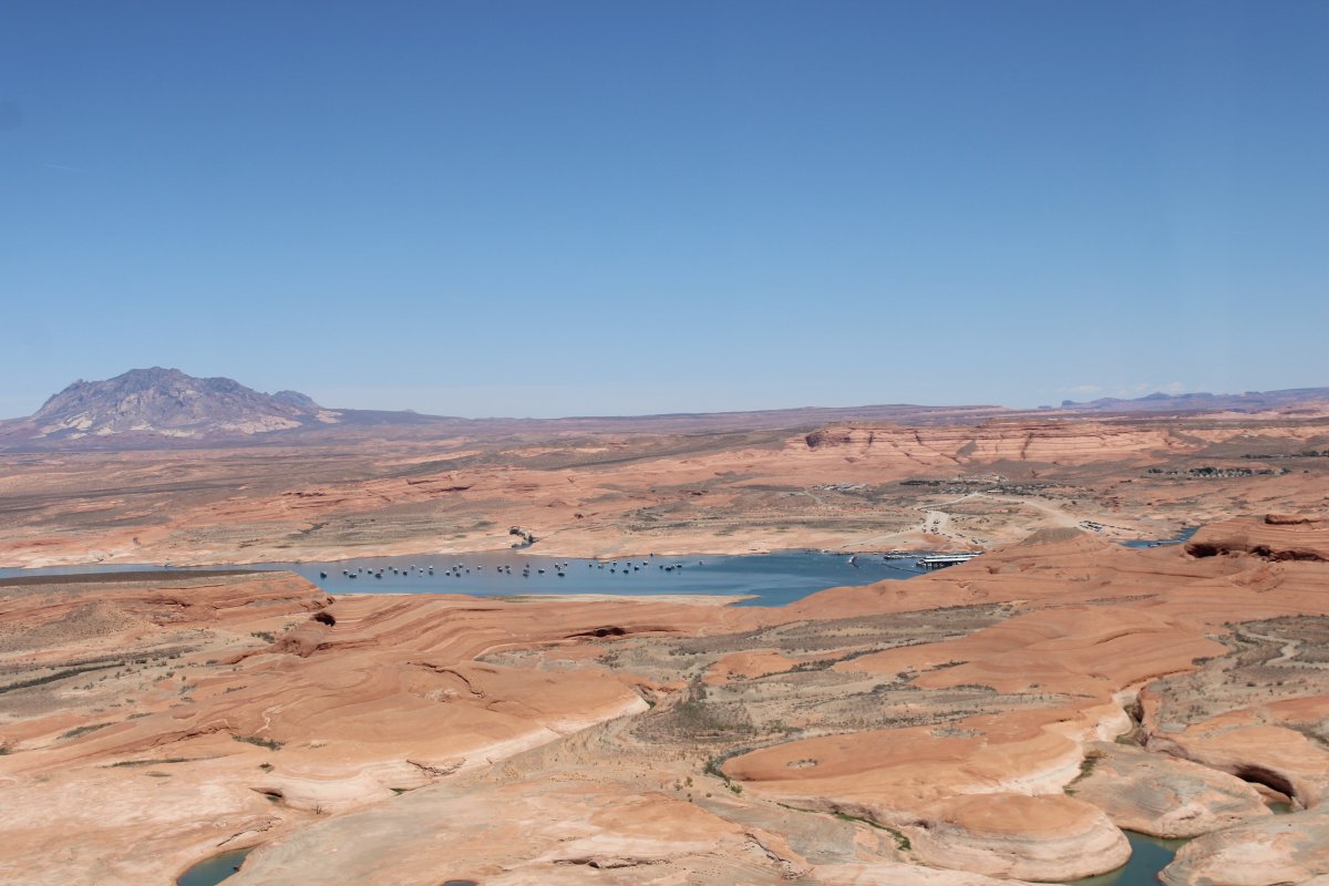
I turned northwest into Hall's Creek Bay.
I'm now looking northeast across a long rock peninsula at Bullfrog Bay and Bullfrog Marina.
|
| |
 |
|
|
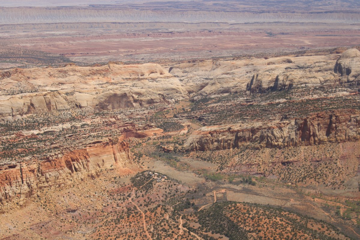
Hall's Creek dries up pretty quickly; it is the southern entrance to Capital Reef National Park.
|
| |
 |
|
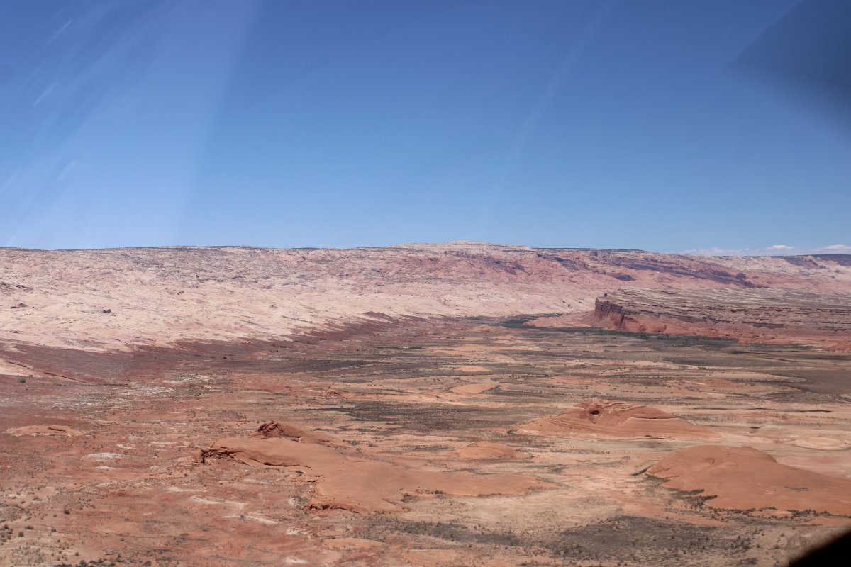
| Heading into Capital Reef NP. |
| |
 |
|
|
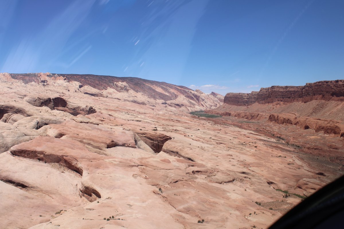
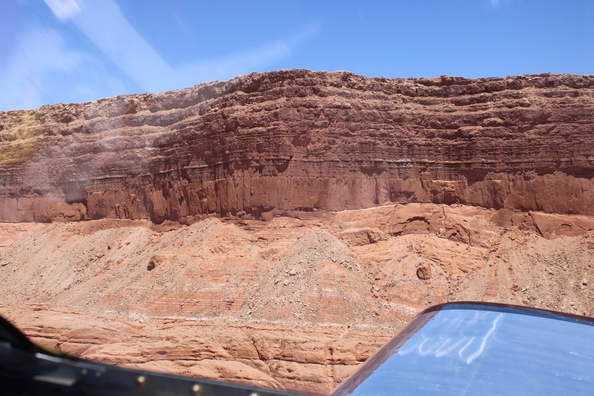
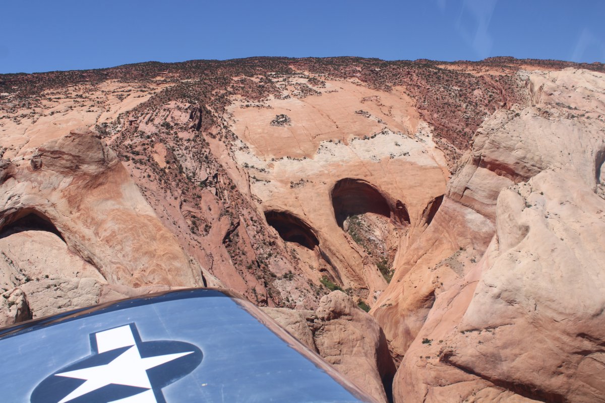
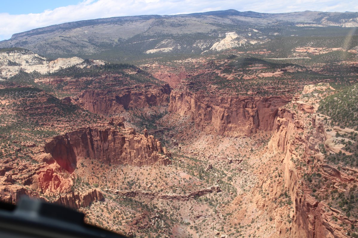
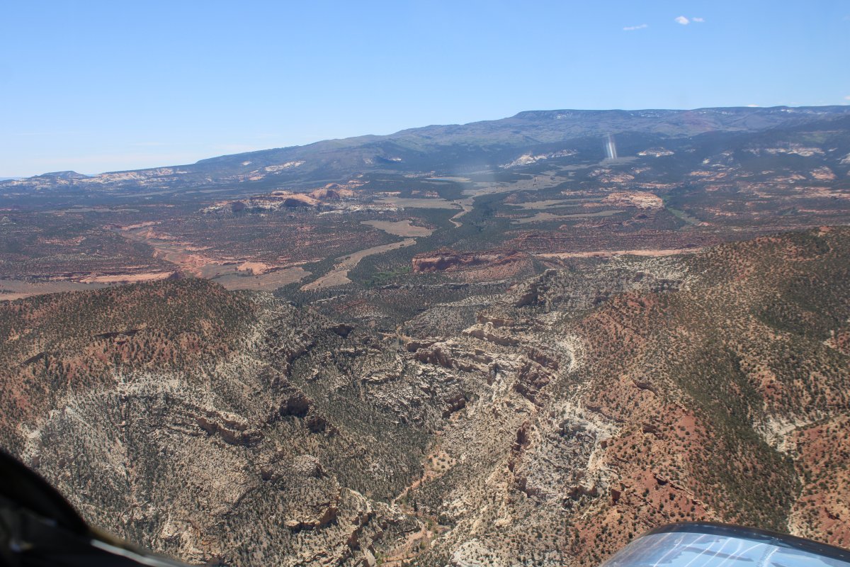
Looking up at some rather large cliff walls.
|
| |
 |
|
| But the left side was the scenic side. |
| |
 |
|
| |
| |
 |
|
|
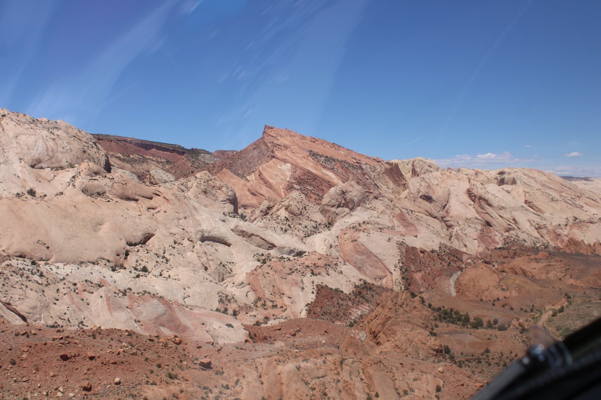
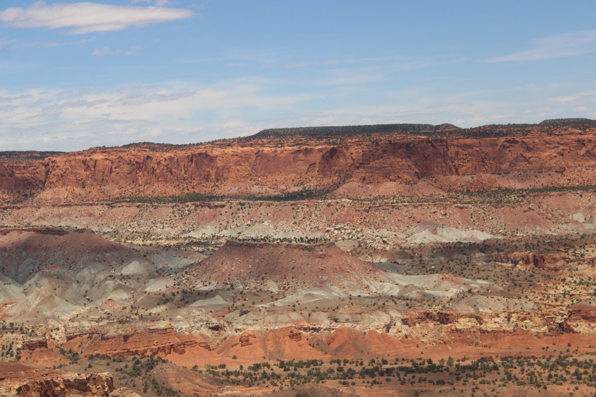
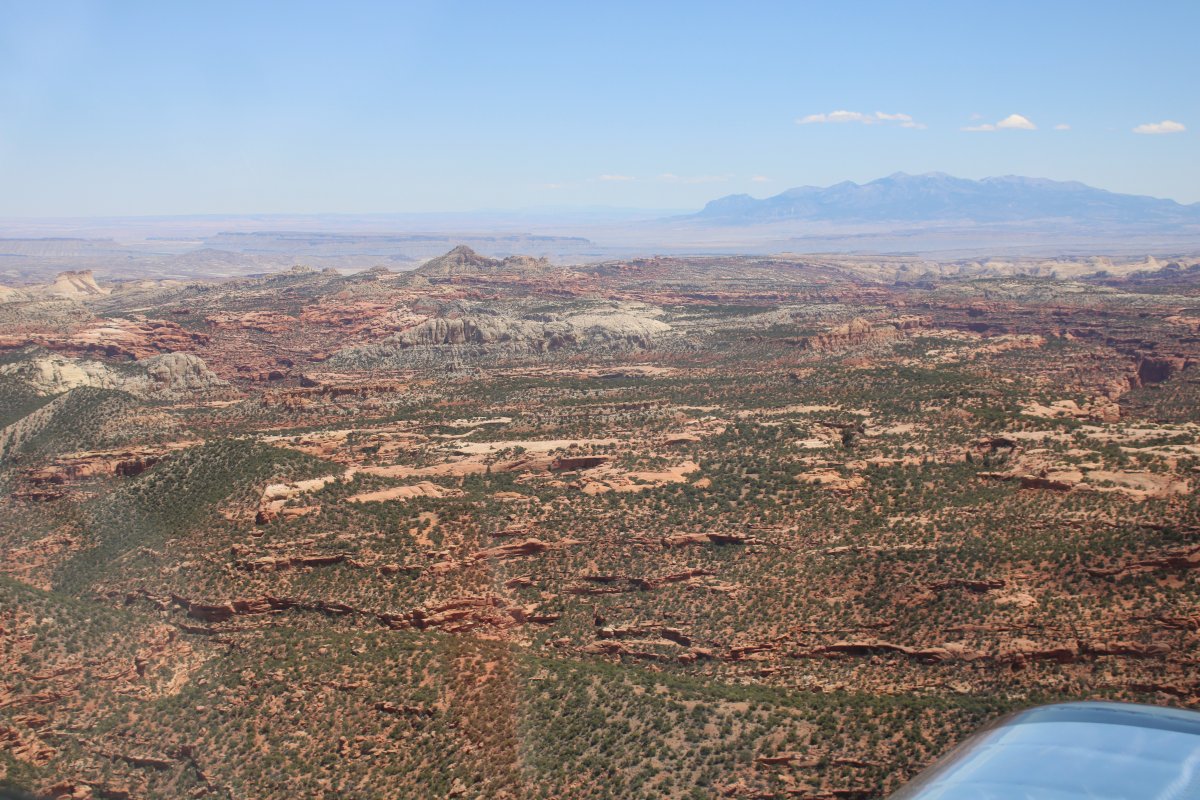
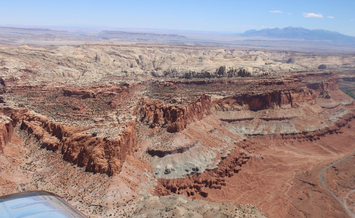
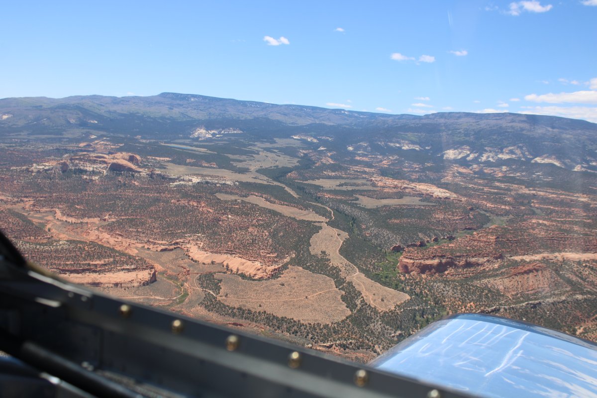
Red rock turns to white rock.
|
| |
 |
|
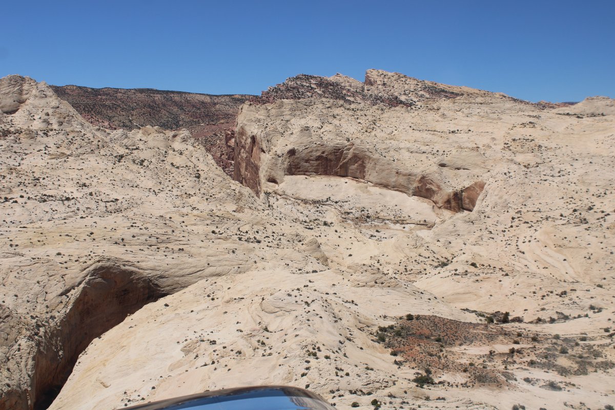
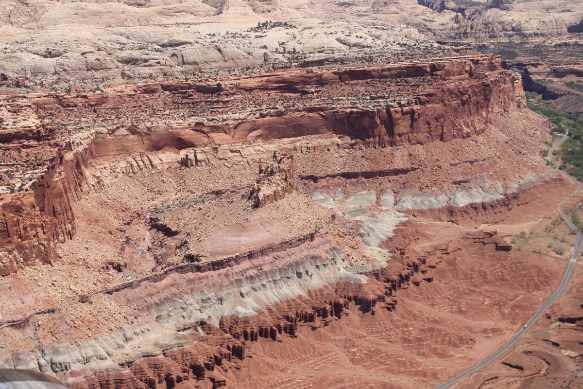
| A gigantic slab of white rock. |
| |
 |
|
| |
| |
 |
|
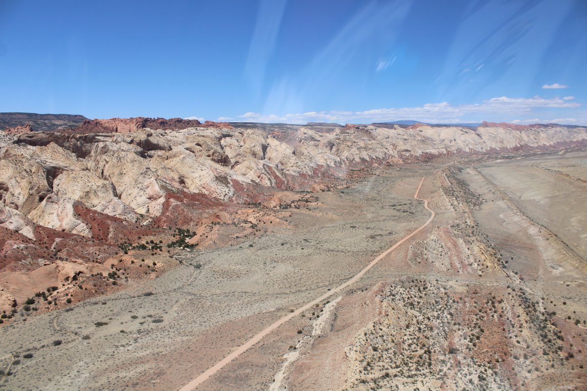
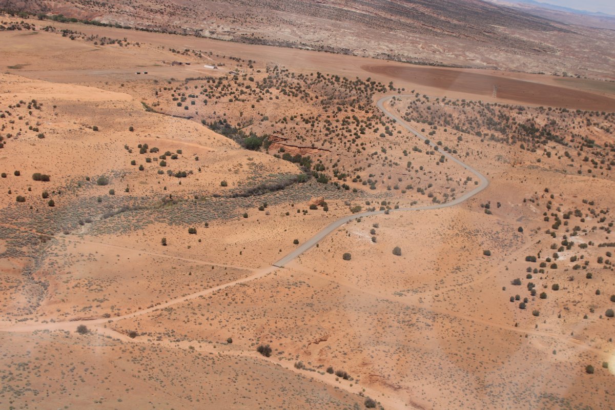
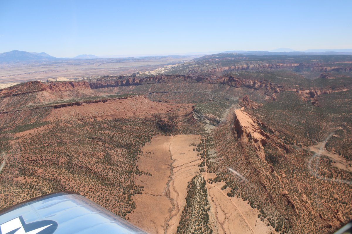
| Looking back at the dirt road that goes all the way to Bullfrog Basin. |
| |
 |
|
|
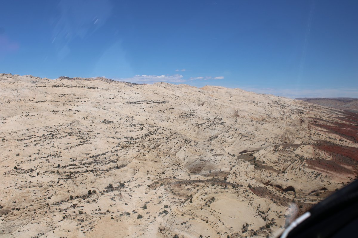
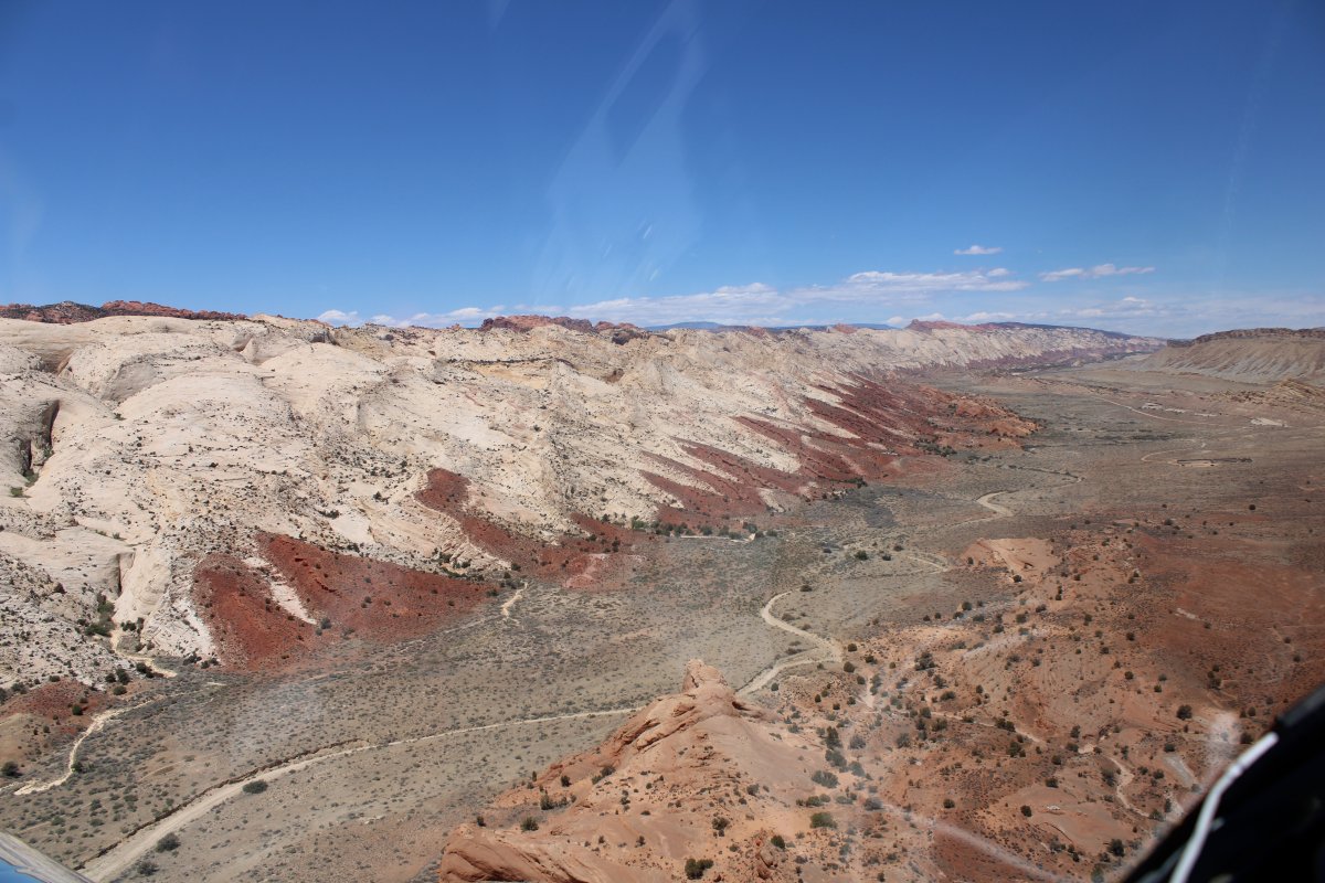
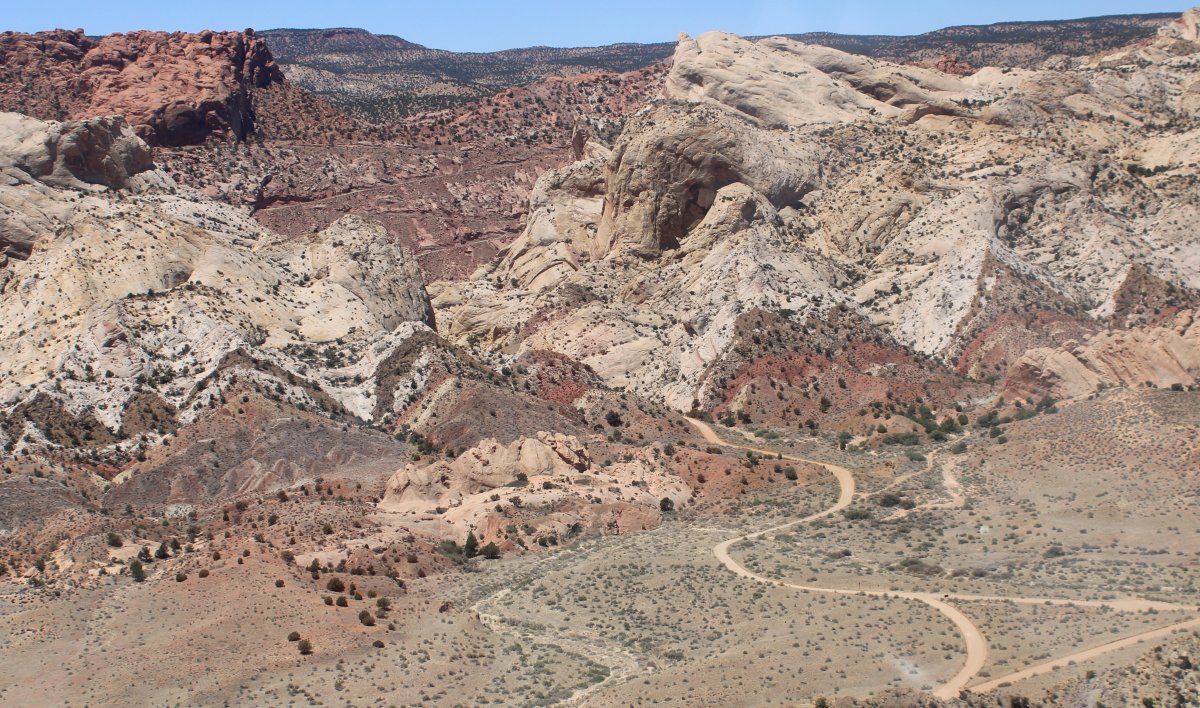
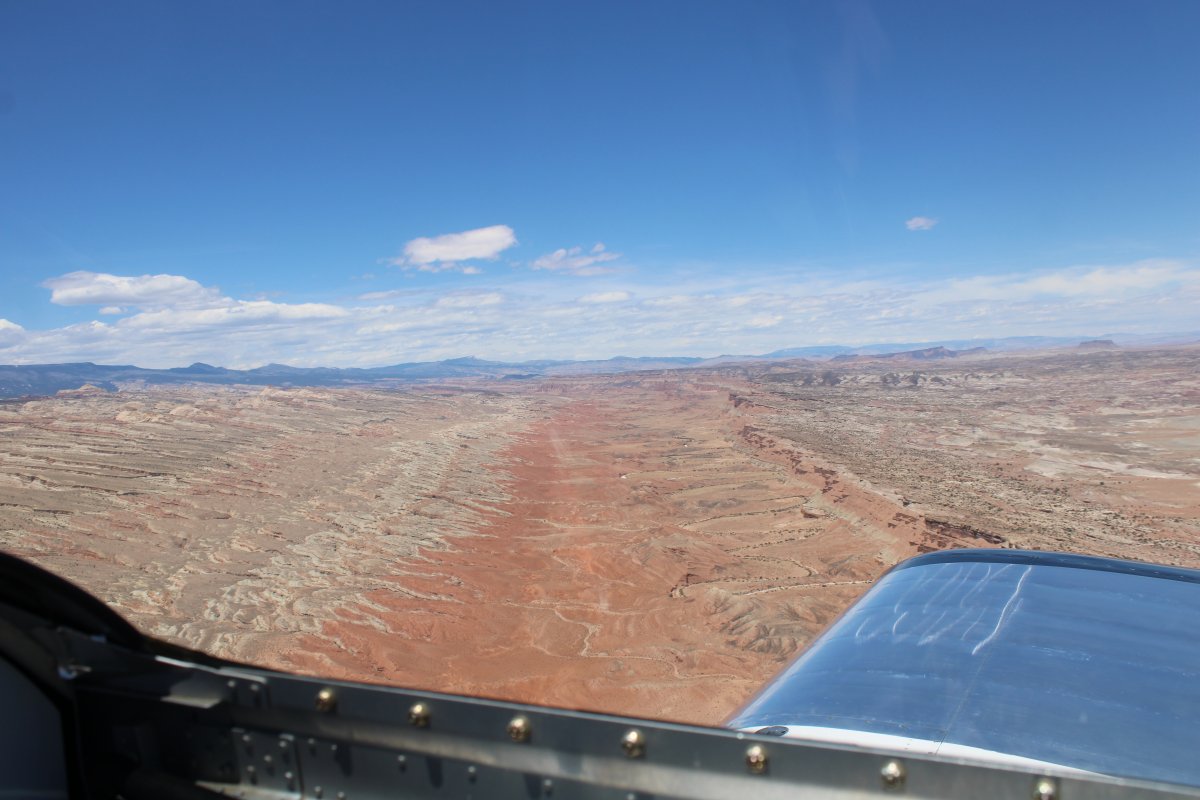
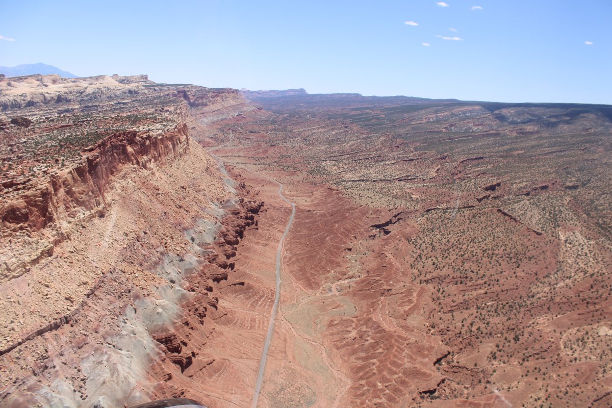
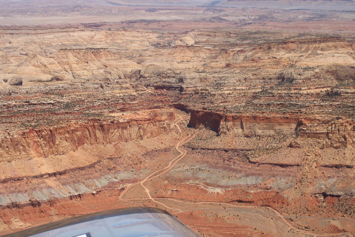
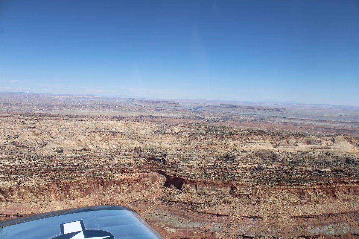
Following the dirt road north.
|
| |
 |
|
| Capital Reef NP off to the left (west). |
| |
 |
|
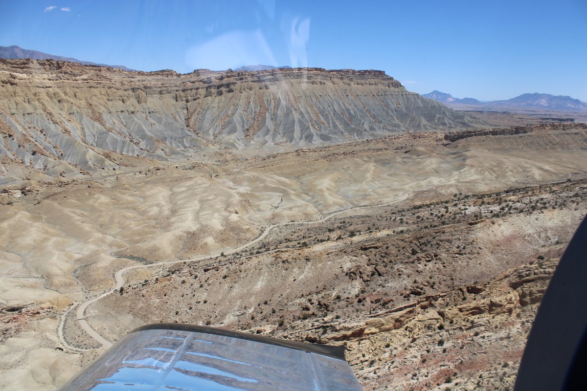
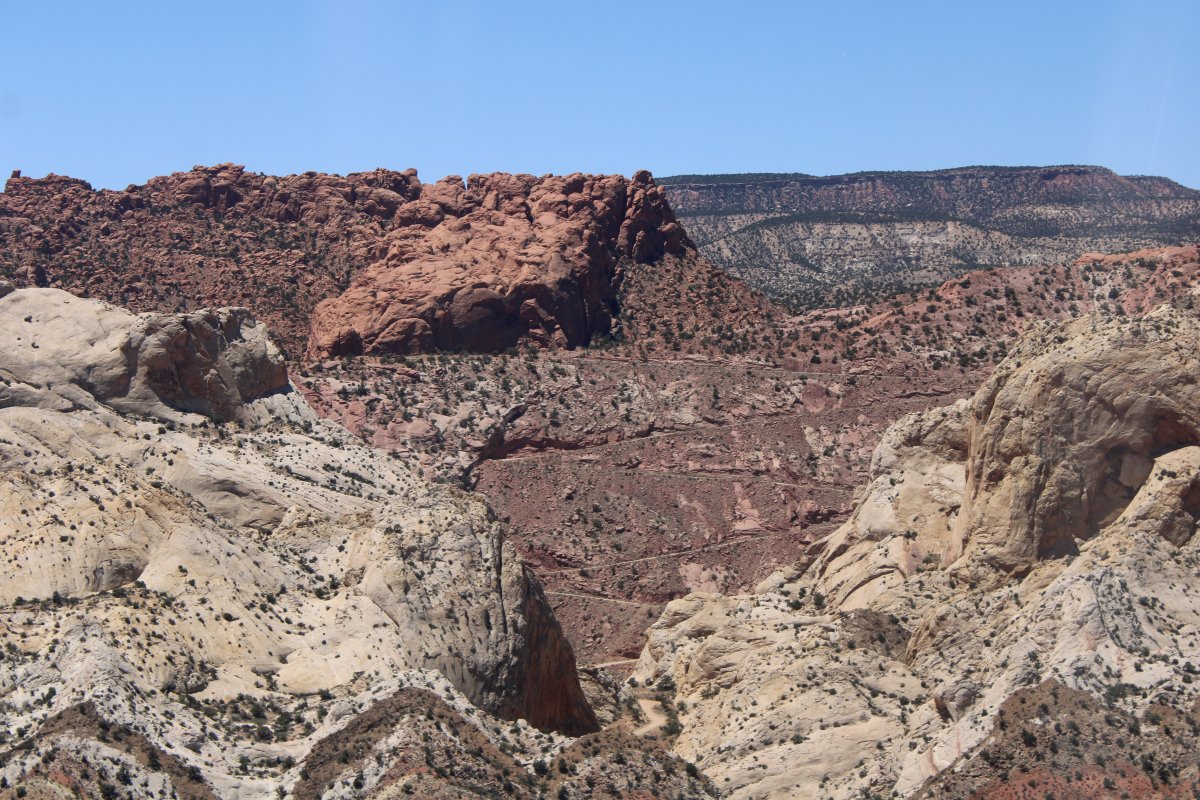
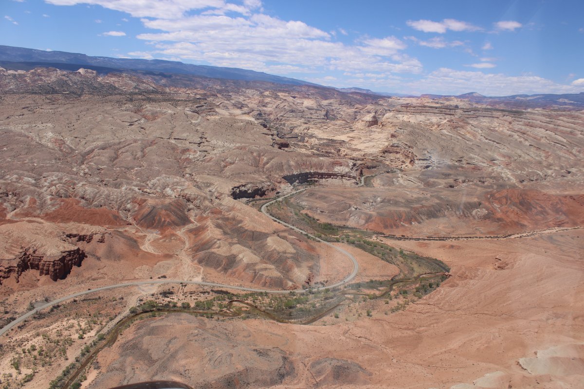
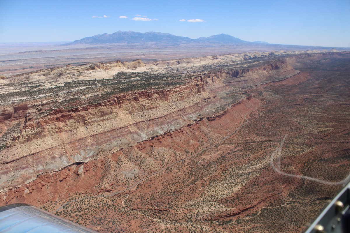
Back in 2018, Lynnette and I had driven the Notom-Bullfrog dirt road south as far as this point, then taken the Burr Trail Road -- pictured below -- west up into the Burr Canyon. Link |
| |
 |
|
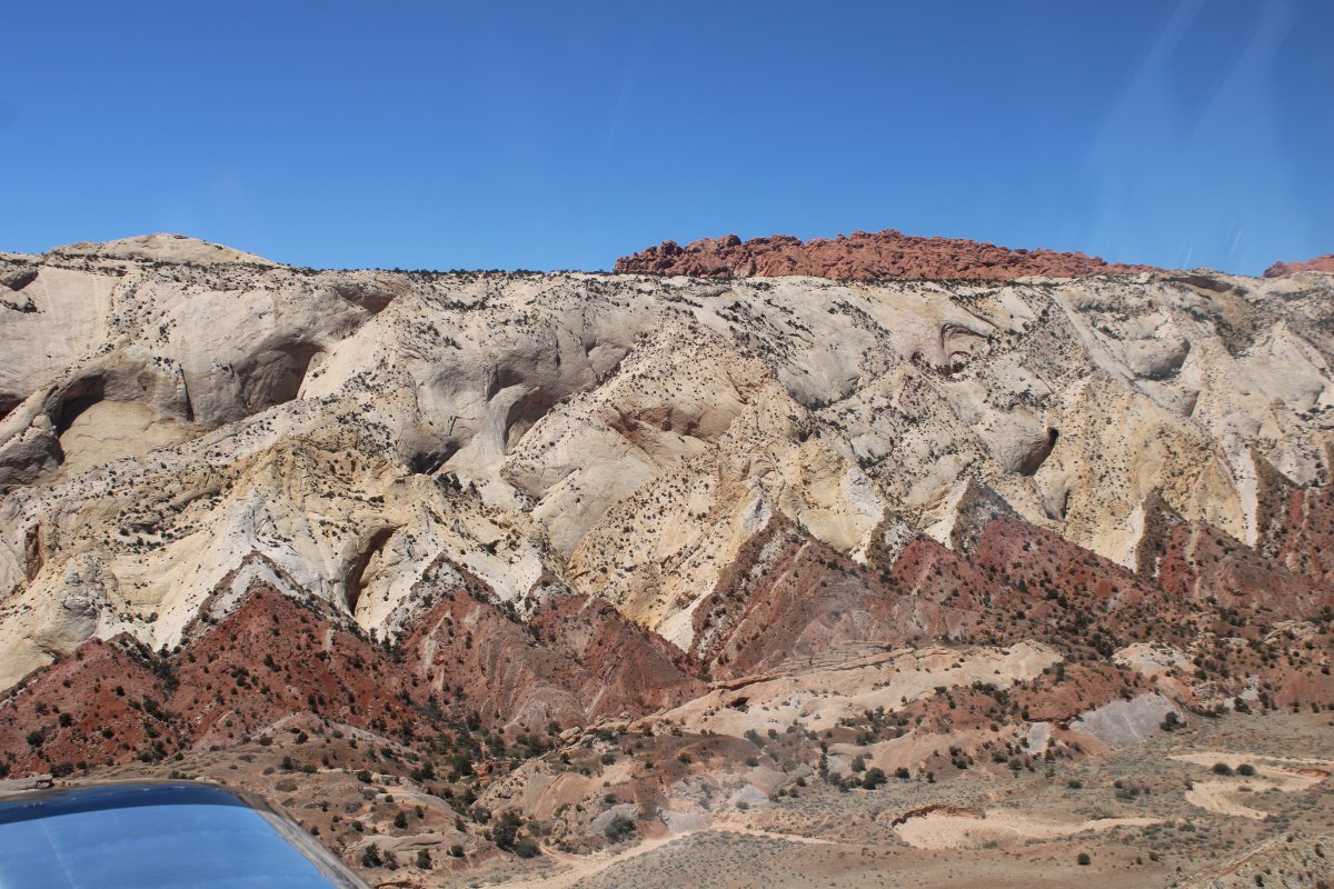
| A close-up of the switchbacks in Burr Canyon. |
| |
 |
|
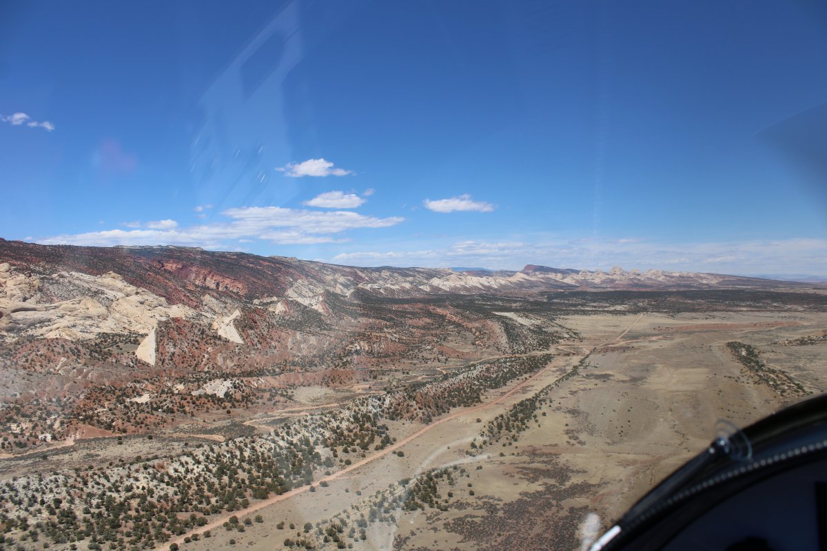
| Continuing north. |
| |
 |
|
| |
| |
 |
|
| Notom-Bullfrog Road turns from dirt to pavement. |
| |
 |
|
| Looking west. |
| |
 |
|
| Looking pretty dry out east. |
| |
 |
|
|
Approaching green and civilization.
|
| |
 |
|
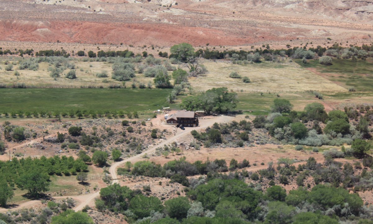
| This is the bed and breakfast we stayed at in 2018. Sunlit Oasis. Very convenient to Capital Reef National Park. Recommended! |
| |
 |
|
|
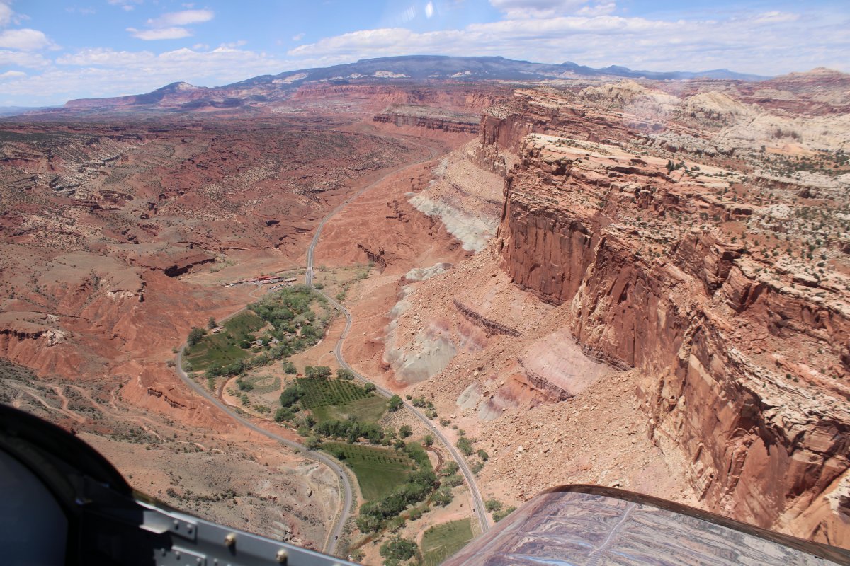
Notom-Bullfrog Road runs into Utah State Route 24.
Below is Highway 24 -- running along the Fremont River -- heading west into Capital Reef National Park, the Visitors Center and the little town of Fruita.
|
| |
 |
|
| Now looking to the north. |
| |
 |
|
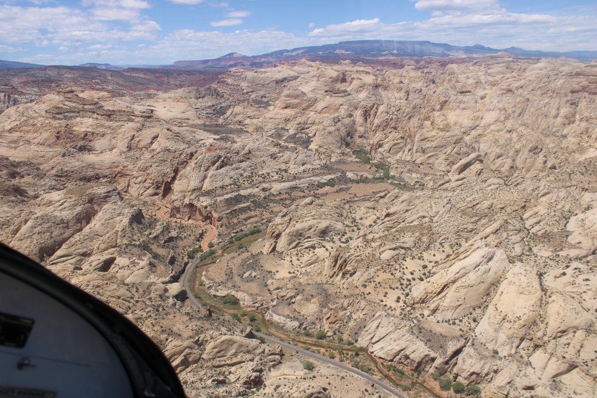
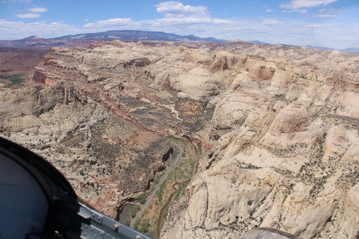
| Highway 24 runs through a canyon obviously cut by the Fremont River. |
| |
 |
|
| Looking southwest at the Grand Wash trail which Lynnette and I hiked when we were here. |
| |
 |
|
|
A few seconds later and the view is completely different.
|
| |
 |
|
| Following Highway 24/Fremont River west. |
| |
 |
|
| Vertical canyon walls to the north. |
| |
 |
|
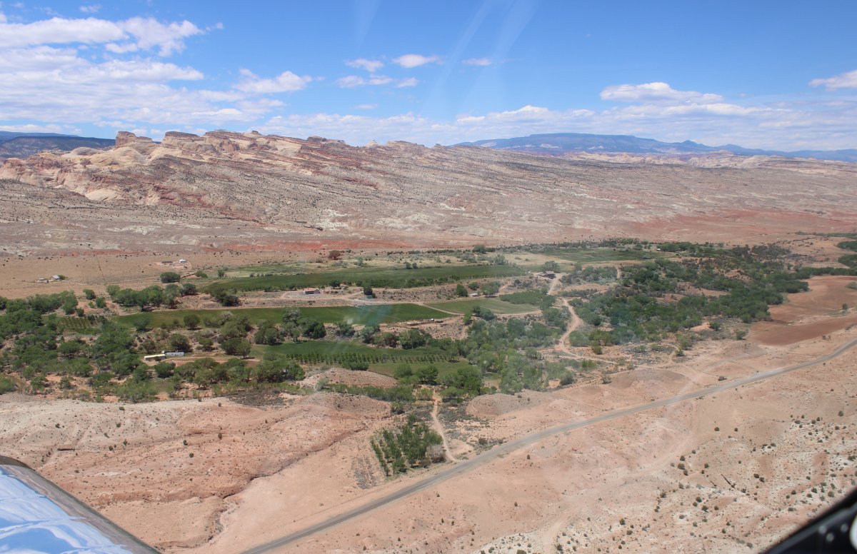
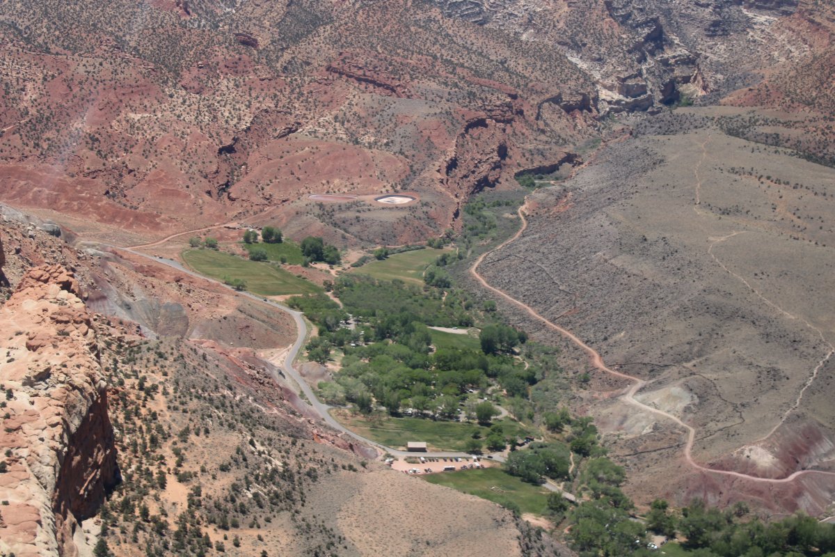
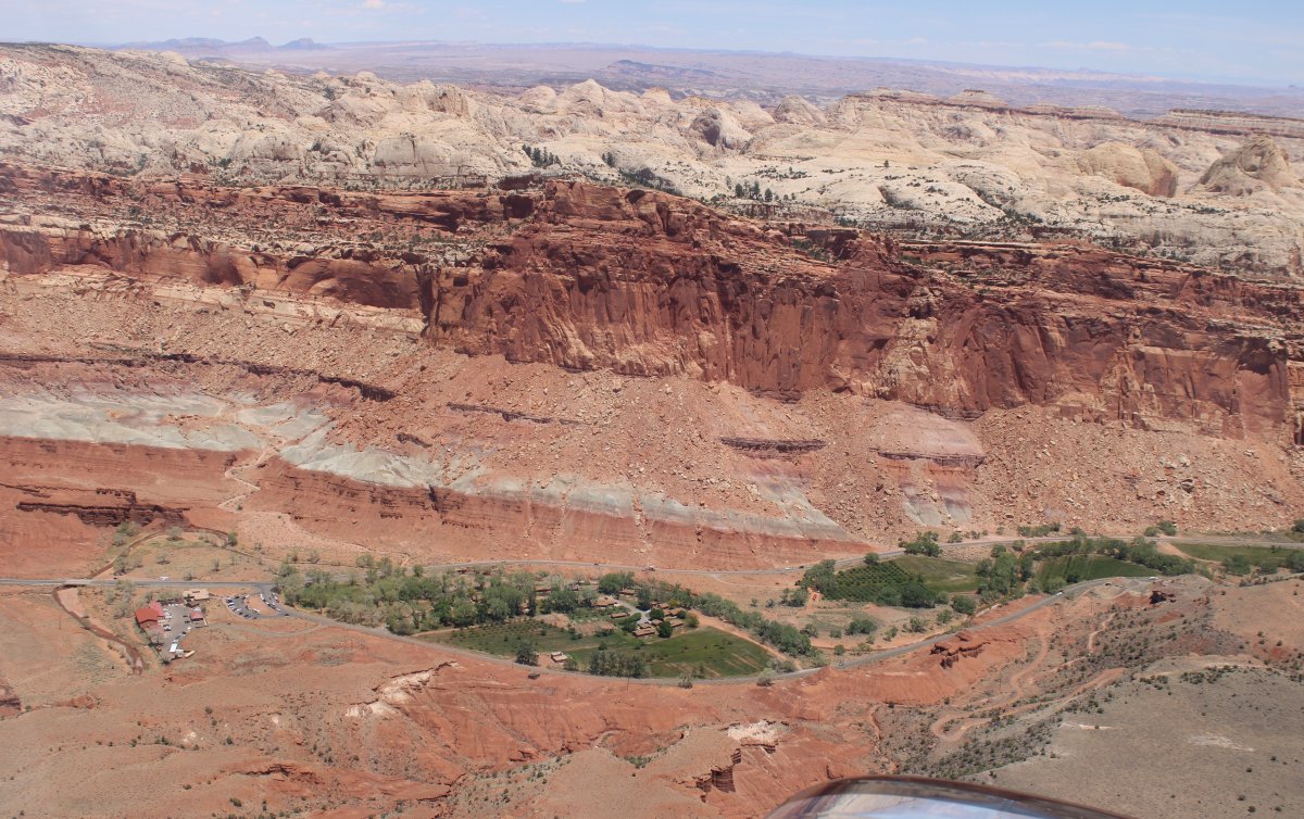
| Approaching the little oasis-like town of Fruita; aptly named for its apricot orchards. |
| |
 |
|
|
This area is like an oasis in the mountains.
|
| |
 |
|
| You can see some apricot orchards in this picture. The Visitors Center is at the center of the photo, just at the top of the top green area. |
| |
 |
|
|
Over Fruita, looking south along Scenic Drive. No, really, the road is named Scenic Drive! And why not?
|
| |
 |
|
| That's the Fremont River below, heading west, through a canyon it made. |
| |
 |
|
| A better look at the Visitors Center at lower left. |
| |
 |
|
| Looking north. |
| |
 |
|
|
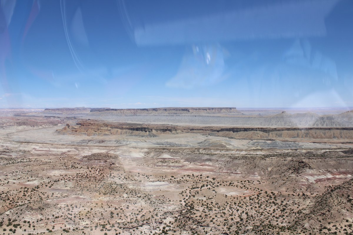
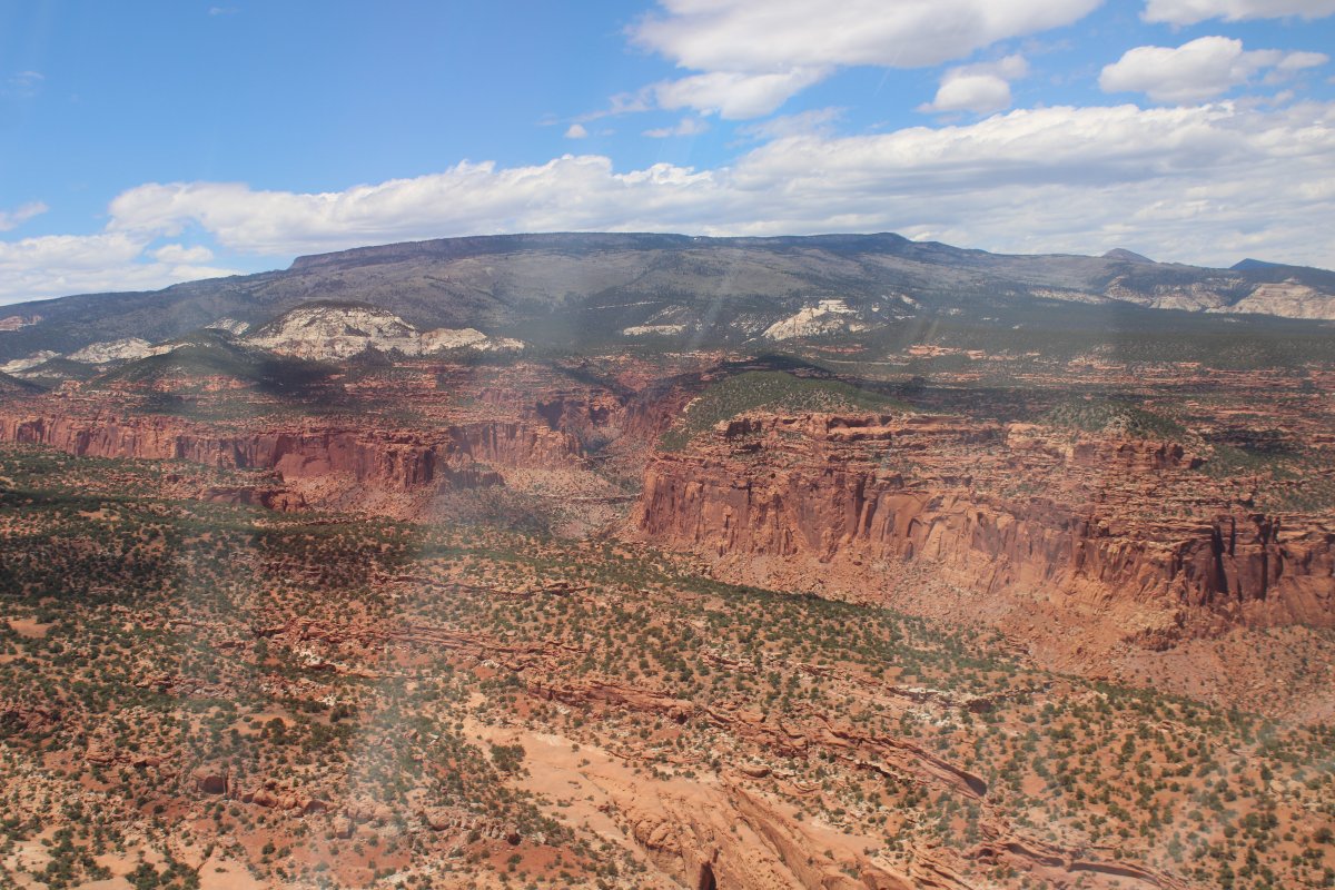
The area known as Goosenecks.
|
| |
 |
|
| |
| |
 |
|
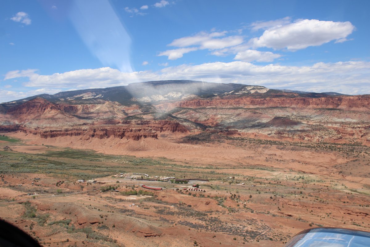
| I flew west as far as the Capital Reef resort -- pictured below -- then turned back east. The little town of Torrey is a little further west. |
| |
 |
|
| A huge red cliff blocks access to the north; however, I can, of course, go over it. |
| |
 |
|
|
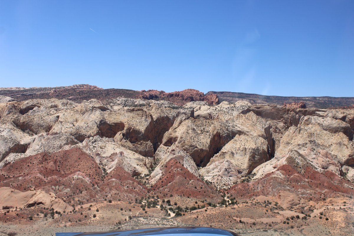
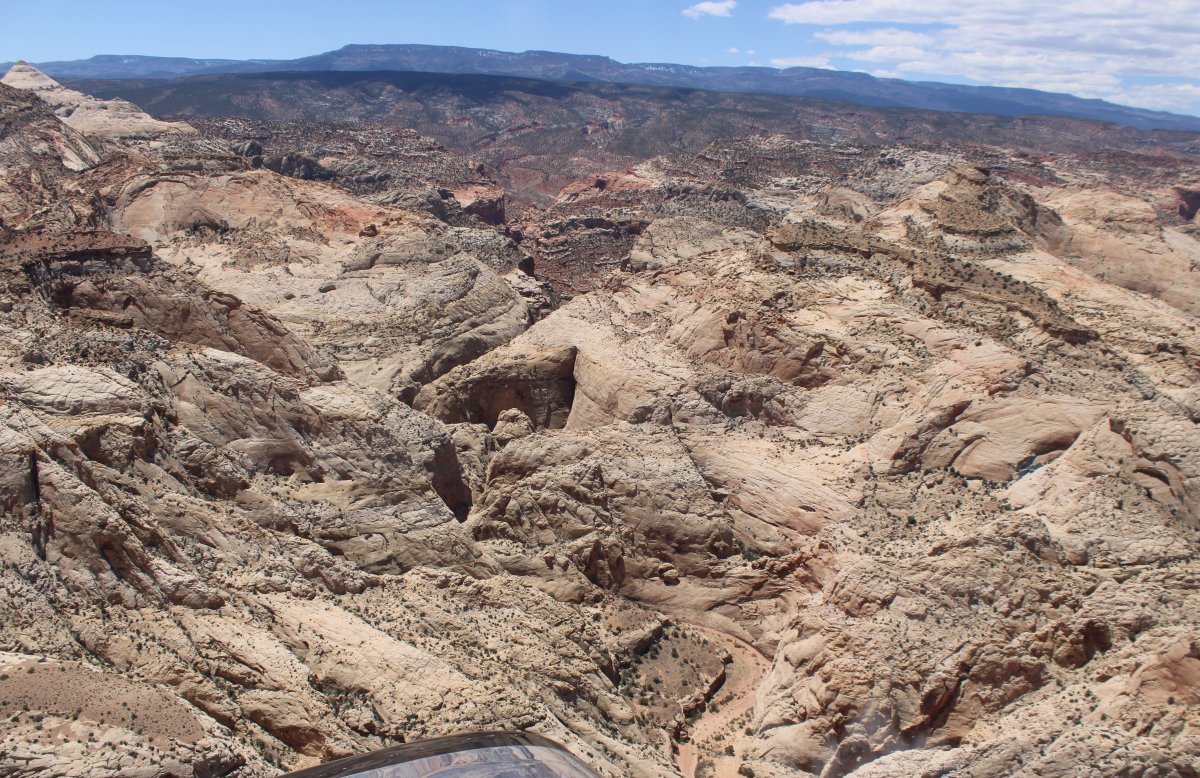
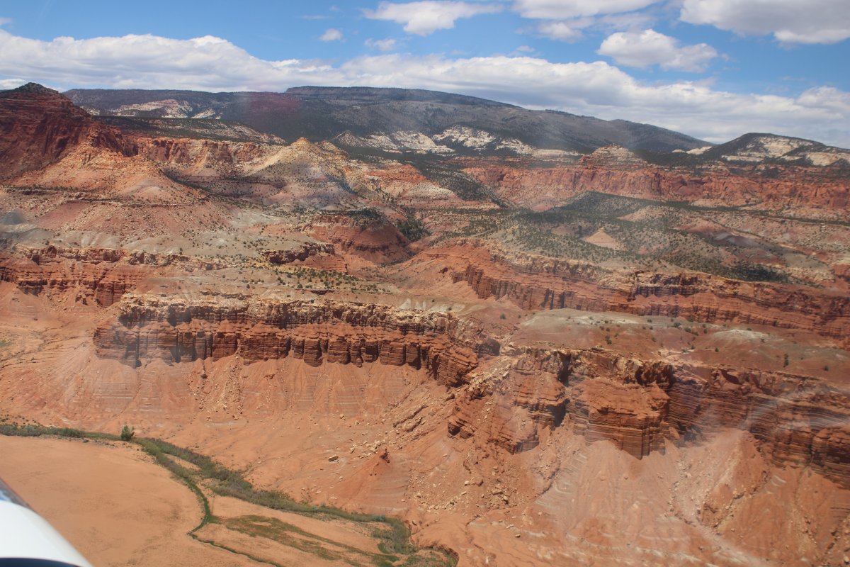
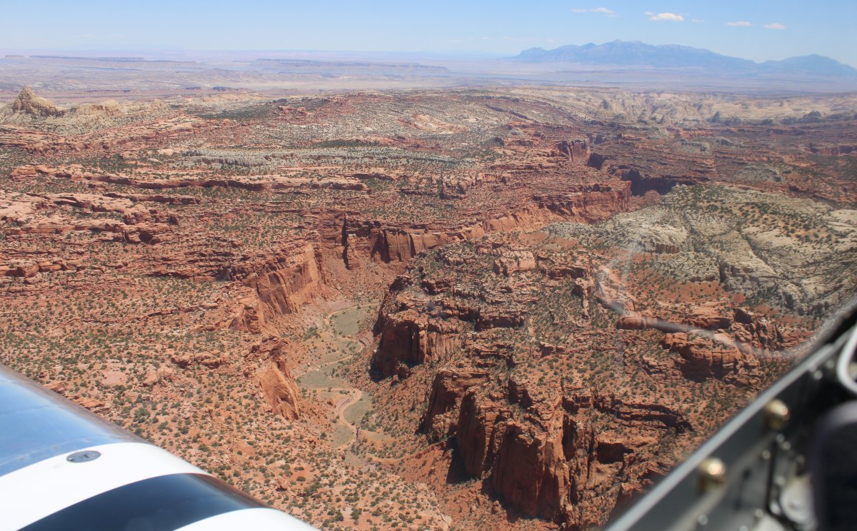
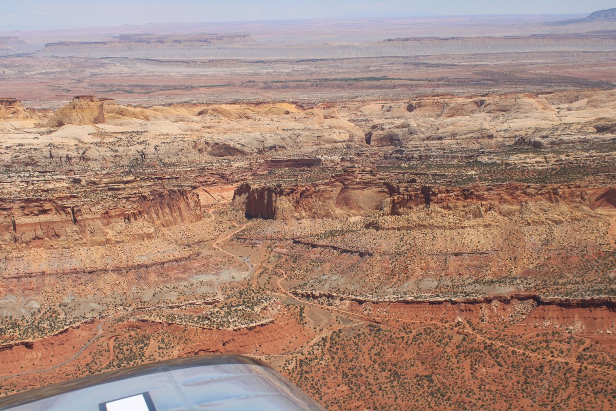
I wanted to explore the area north of Highway 24 which is still Capital Reef NP but seems to me completely inaccessible from the ground.
|
| |
 |
|
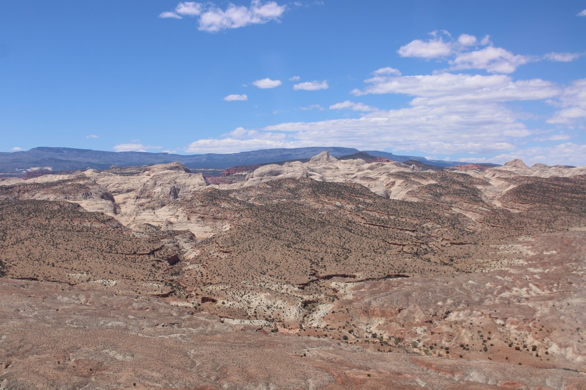
| The northern part of Capital Reef NP is absolutely stunning. |
| |
 |
|
|
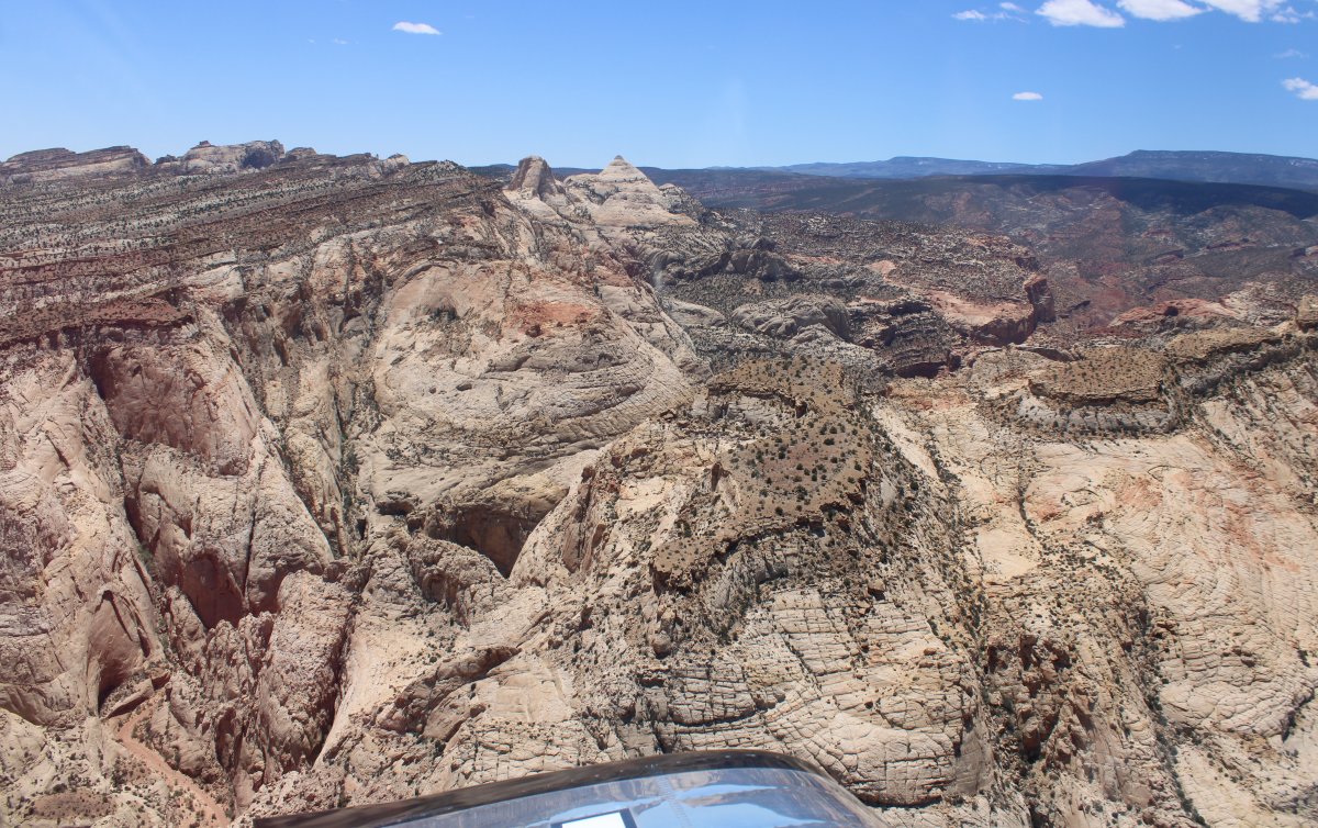
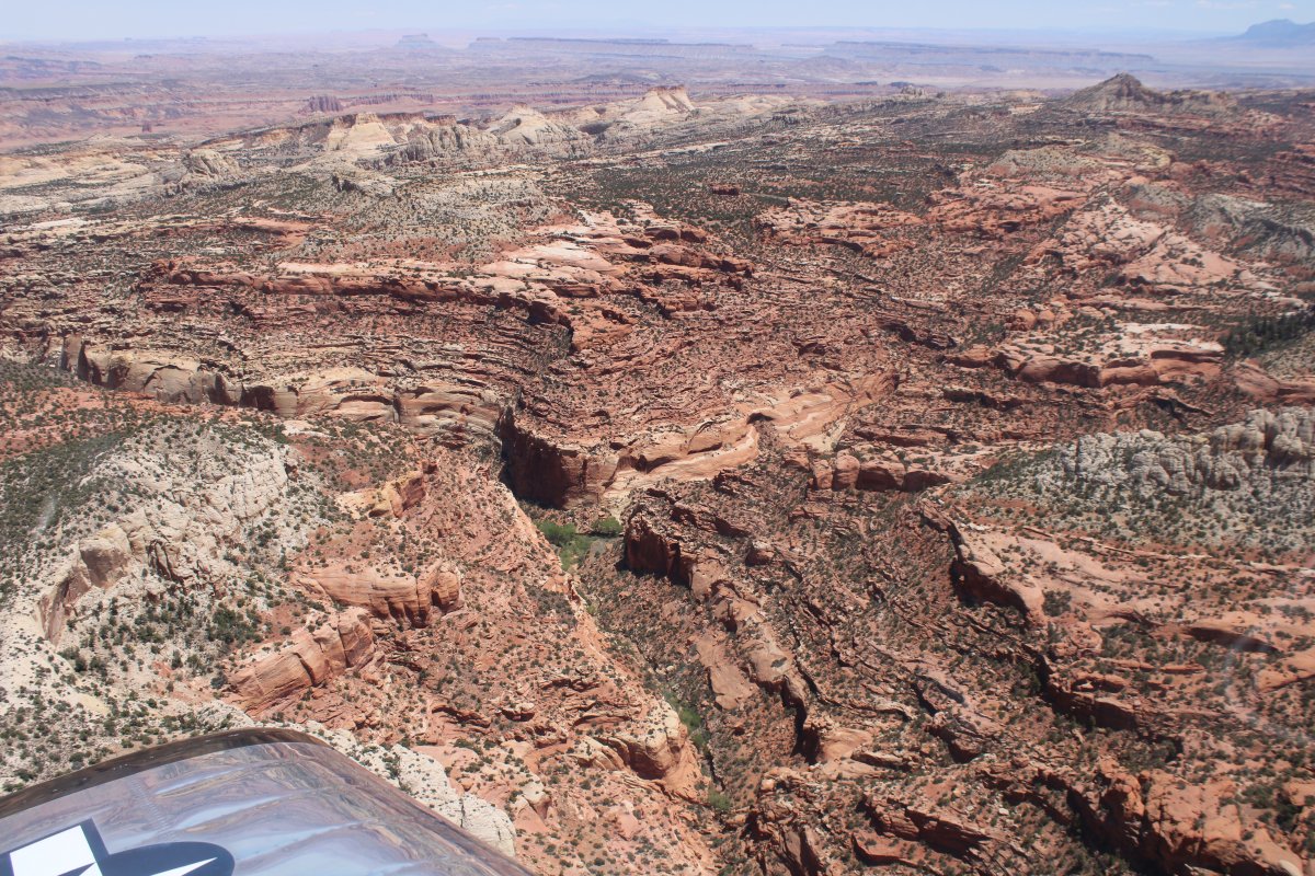
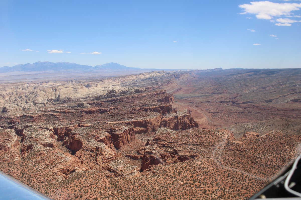
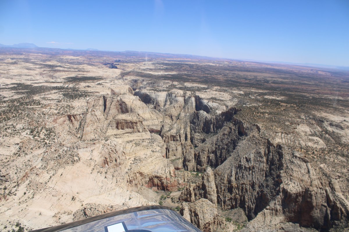
For the red rock afficionado, this can't be beat.
|
| |
 |
|
| |
| |
 |
|
| Wow. |
| |
 |
|
| |
| |
 |
|
|
Because I was now flying in the afternoon, it was a little bumpy, but not too bad.
|
| |
 |
|
| Now back on the east side of the park. |
| |
 |
|
| It was time to head for home (Escalante Airport). I turned south and flew back over Fruita heading south. |
| |
 |
|
| Following Scenic Drive south again. |
| |
 |
|
|
Passing by the spot where the Grand Wash Trail emerges -- if you hike its entire length.
|
| |
 |
|
| Looking east at the entire panorama. |
| |
 |
|
|
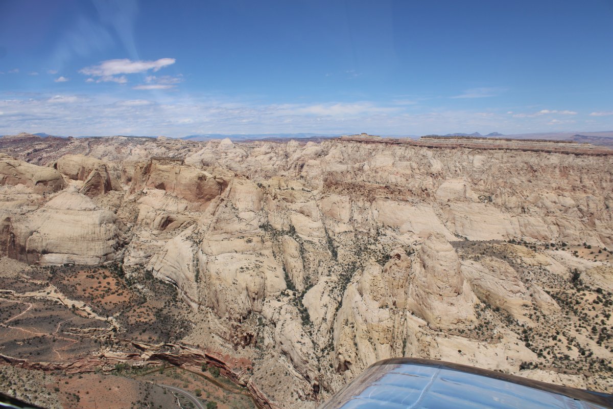
Capital Reef is maybe more beautiful on the west side than it is on the east.
|
| |
 |
|
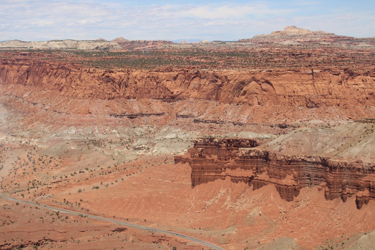
| Scenic Drive turns into a dirt road, becomes Capital Gorge Road, turns east and ends at the Capital Gorge trailhead. The Gorge cuts through the Reef. |
| |
 |
|
| Further on, Pleasant Creek cuts through the Reef below. Wouldn't it be great to live around here and hike all these great trails? |
| |
 |
|
| At this point I turned southwest and headed directly to Escalante. |
| |
 |
|
|
|
| |
 |
|
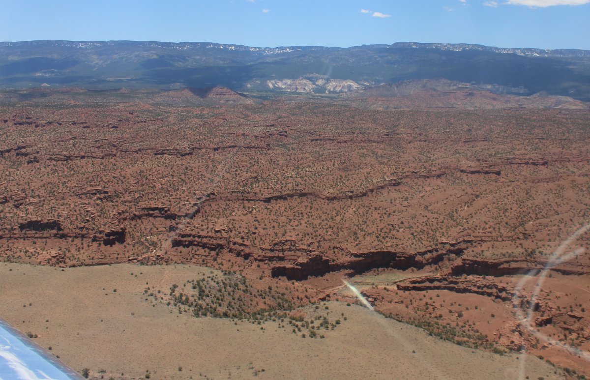
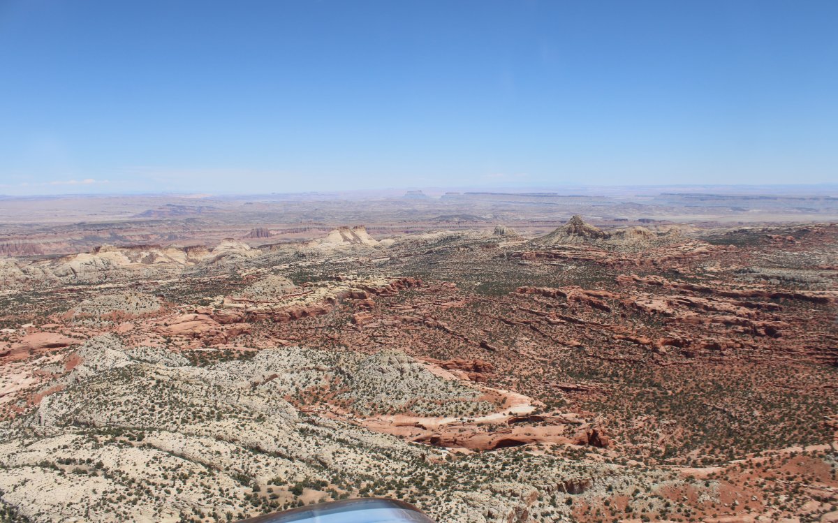
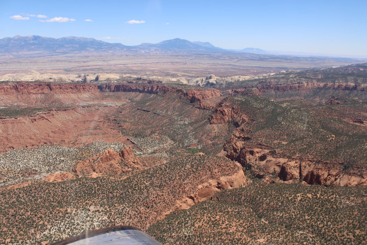
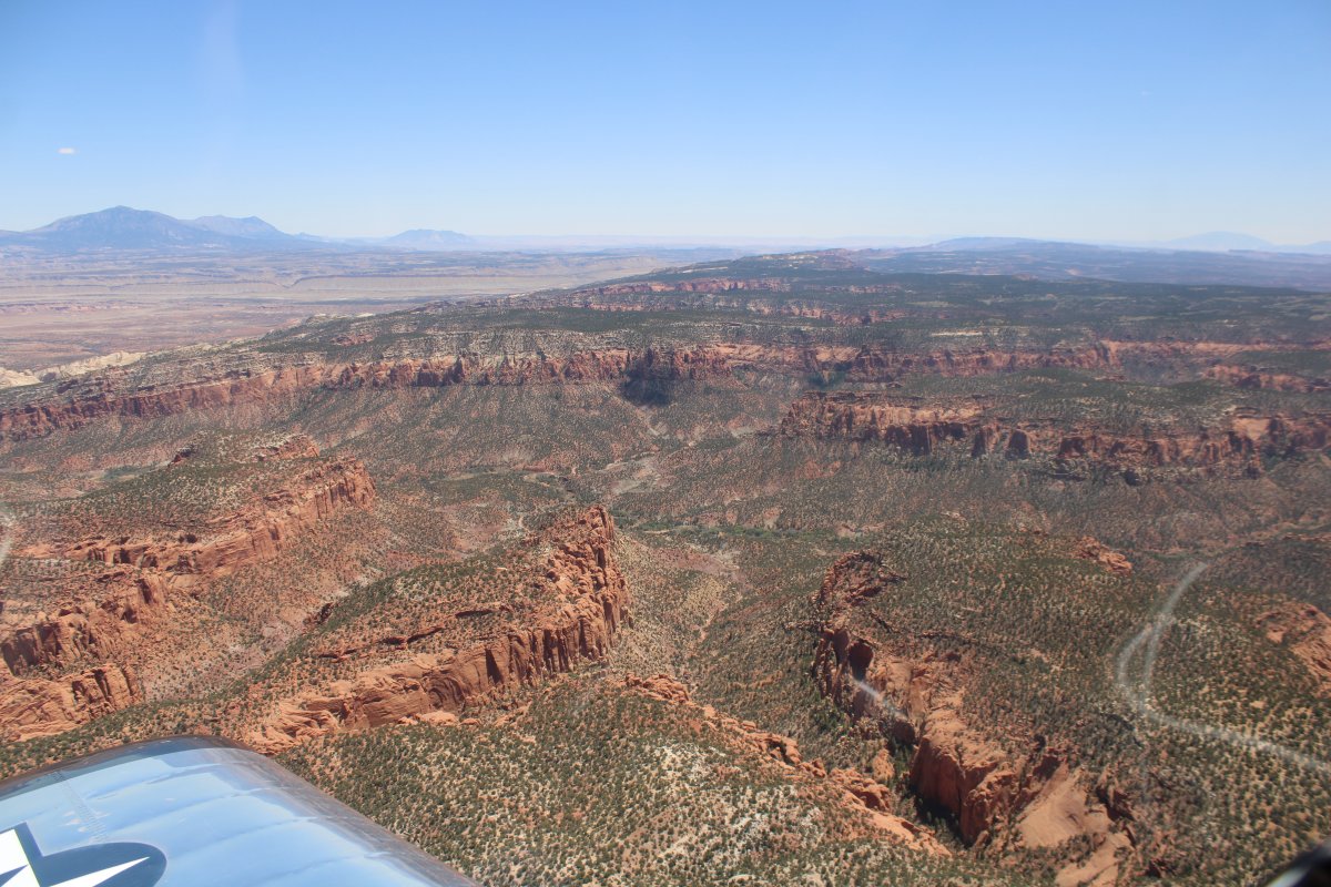
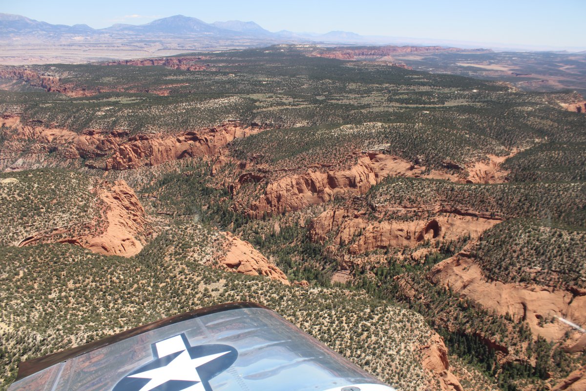
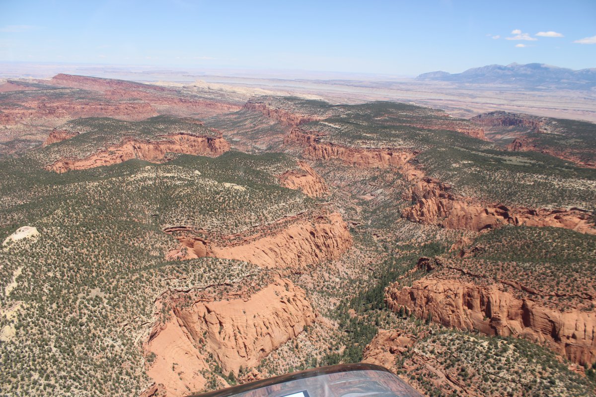
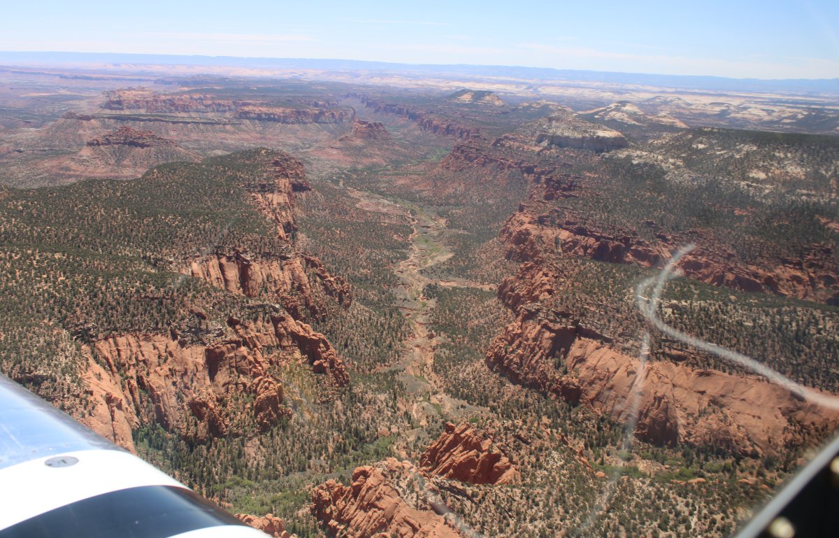
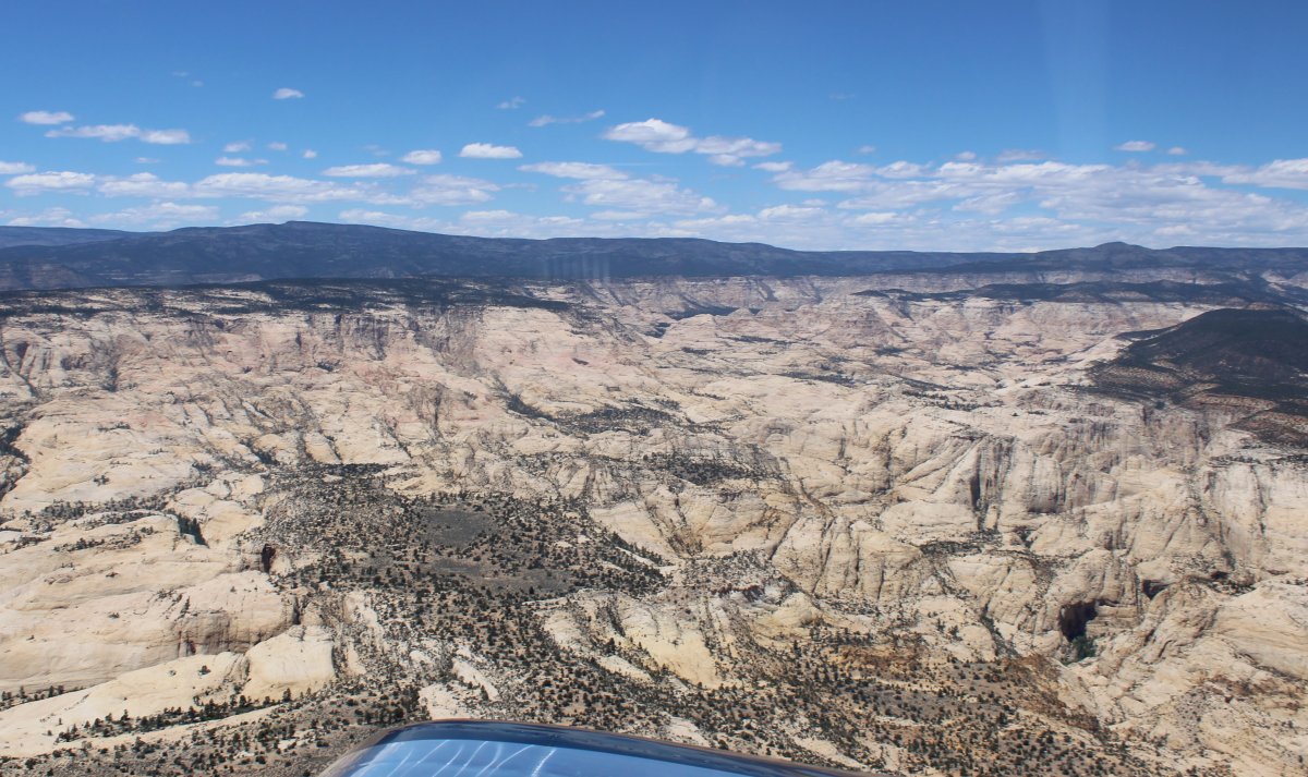
| The terrain in southern Utah is just amazing. |
| |
 |
|
| |
| |
 |
|
| |
| |
 |
|
| |
| |
 |
|
|
|
| |
 |
|
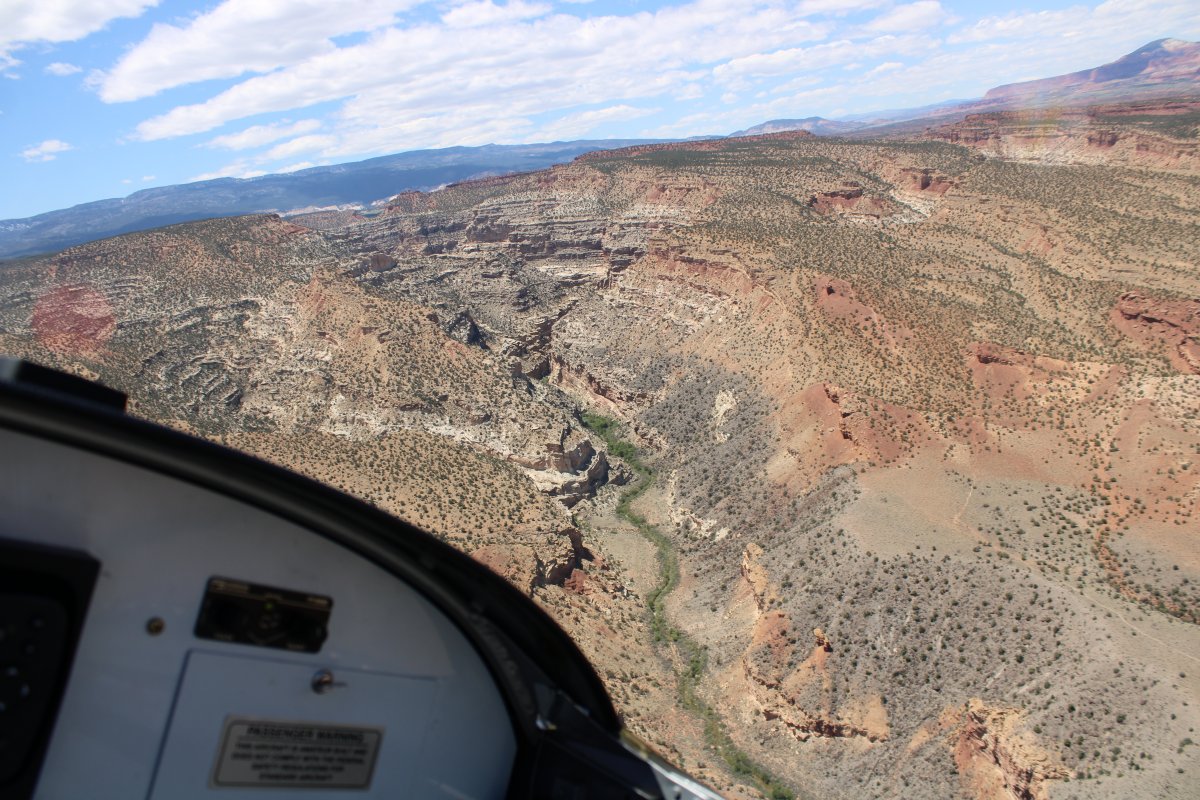
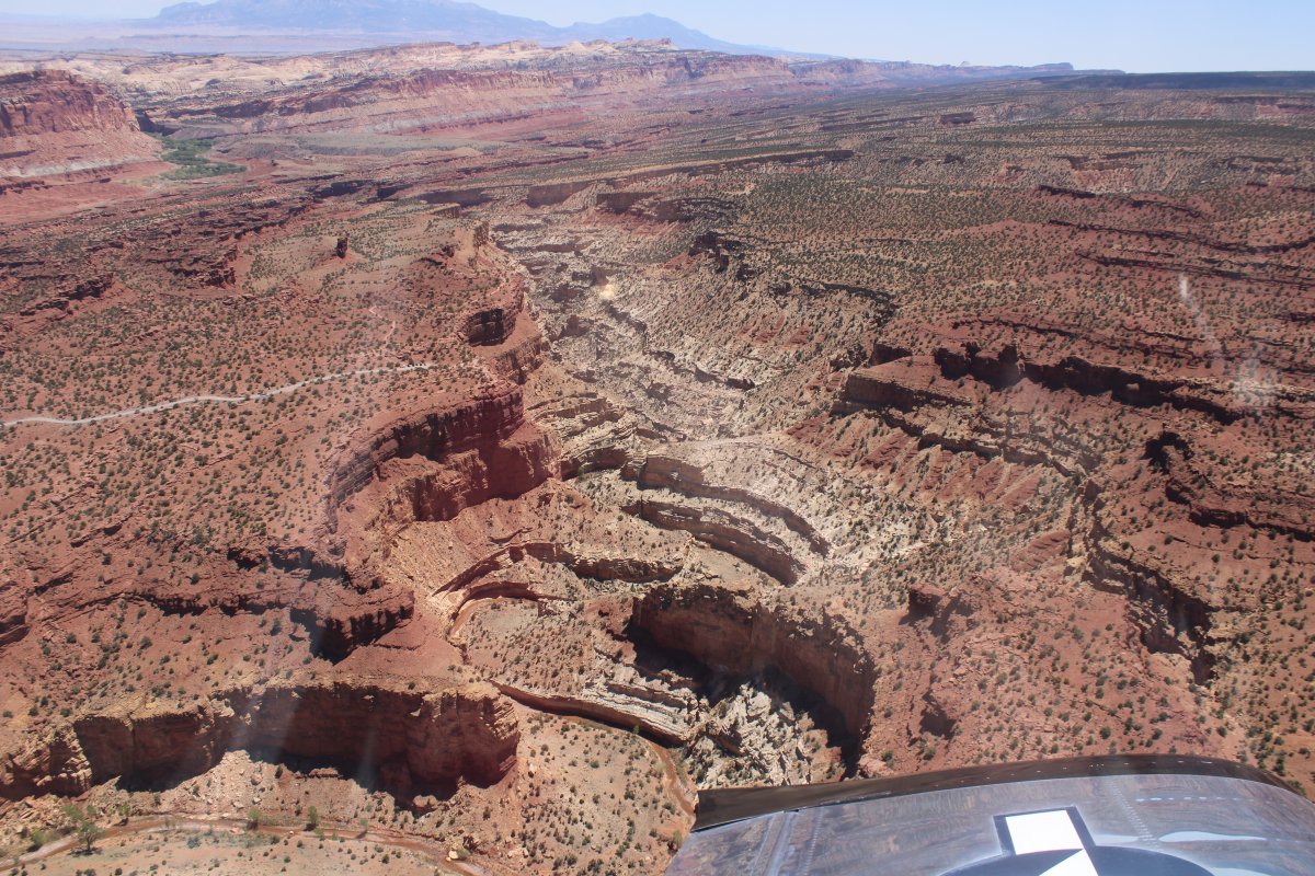
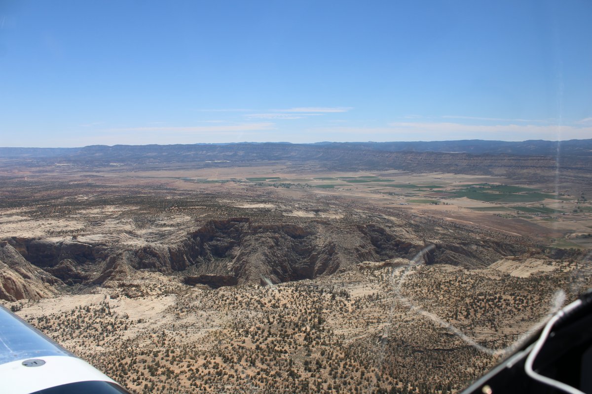
| Passing over a big canyon with a creek -- Deep Creek, maybe? -- at center. |
| |
 |
|
| |
| |
 |
|
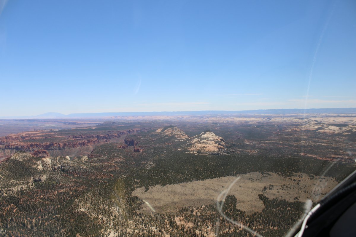
| Passing by a valley big enough to support agriculture. I am probably flying directly over the little town of Boulder. |
| |
 |
|
|
Looking northwest.
|
| |
 |
|
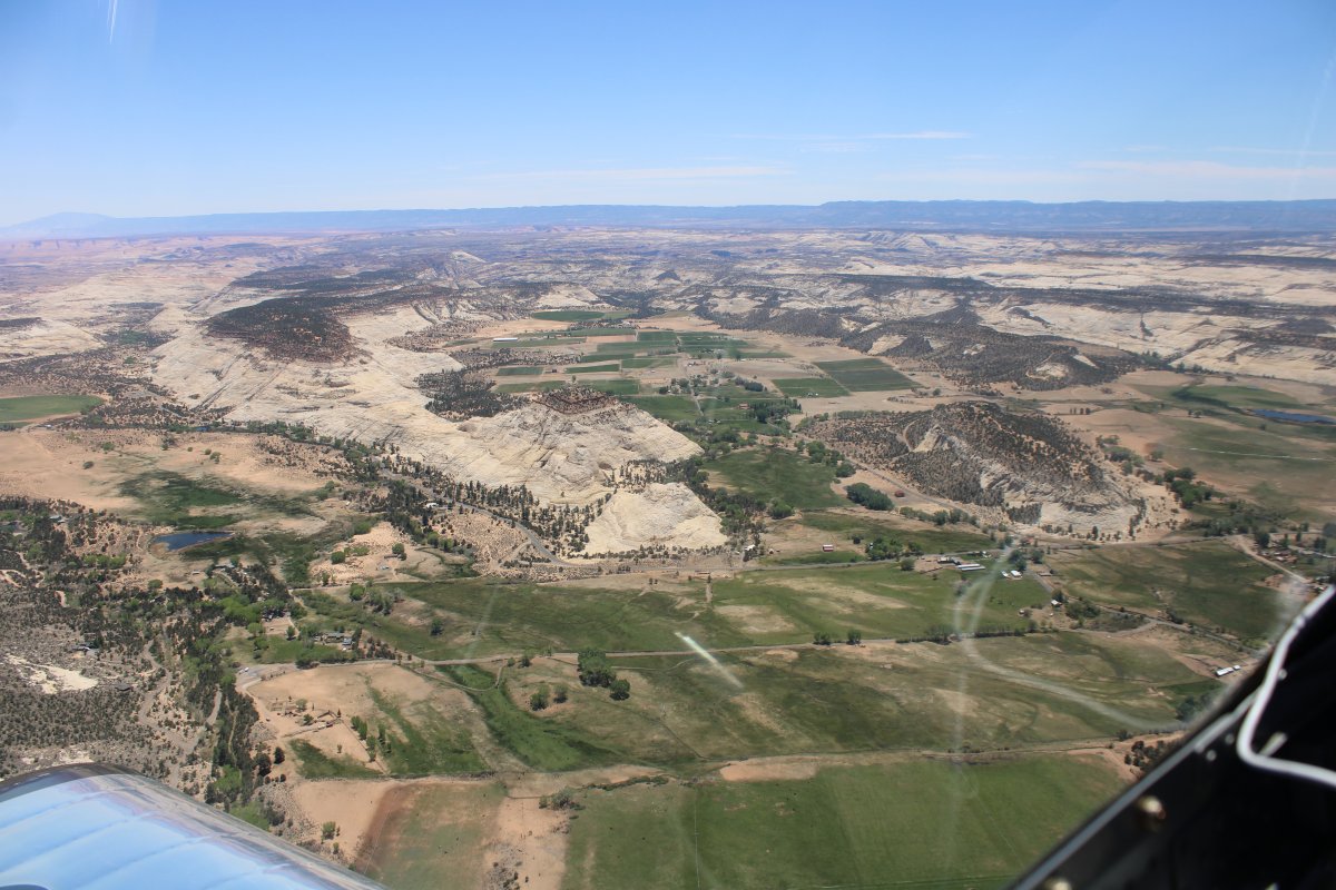
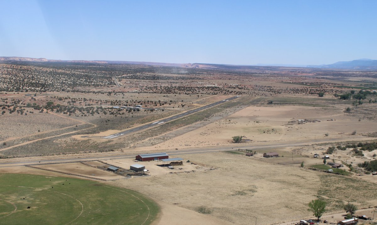
| And then there is Escalante Airport at lower right, with the Escalante River at center. |
| |
 |
|
| Looking east down the Escalante River; the path I had set out on a couple of hours ago. |
| |
 |
|
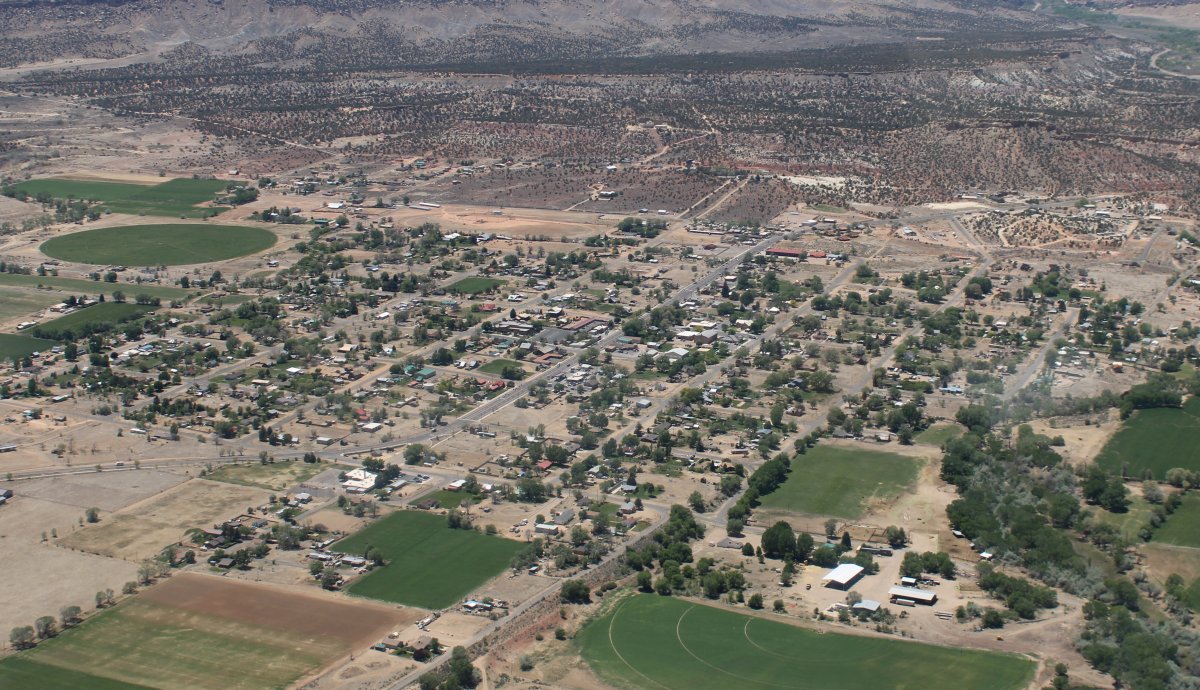
| A good look at Escalante, the town. It pretty much has one main street -- Highway 12 -- with residential areas on each side. |
| |
 |
|
|
Making a right base for runway 13 at Escalante Airport.
I took the courtesy car into town and had a nice dinner and a few beers at the 4th West Pub. I relaxed and read a book in the pilot's pavilion until the sun went down, then retired to my tent. What a day!
|
| |
 |
|
| |
| |
|
|
|
|
|
|